2D/3D Chart Engine
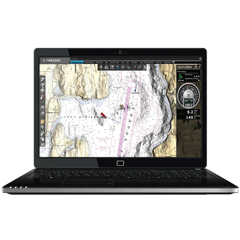
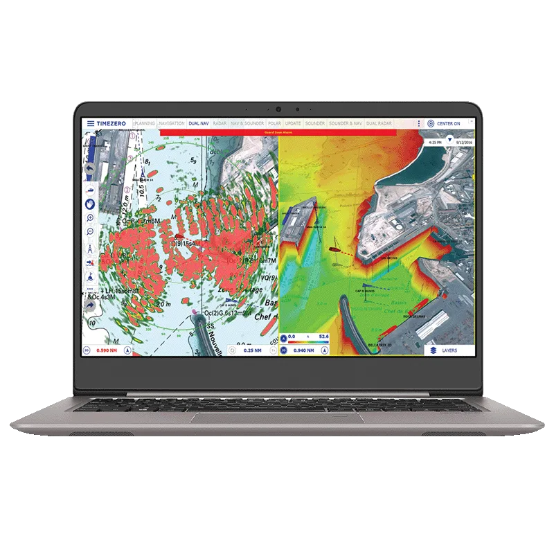
Seamless charts with no redraw time, plus PhotoFusion satellite imagery.
TIMEZERO · Navigation Software & ECS
Recreational software that fits all types of marine navigation
Intuitive TIMEZERO navigation software for recreational boaters, with seamless 2D/3D charts, weather forecasts, AIS and full integration with FURUNO systems.
Price and availability on request. We handle supply, installation and support.
TZ NAVIGATOR is TIMEZERO marine navigation software for all kinds of recreational sailing, from relaxed cruising to regattas. Its Chart Engine shows 2D and 3D charts seamlessly with no redraw time, and PhotoFusion merges high-resolution satellite imagery with raster or vector charts in one continuous view. Worldwide tide and tidal-current data and weather forecasts of up to 15 days overlay directly on the chart.
The Route Planning Wizard helps set the best departure and arrival times, and a colour-coded safety check shows whether depth is sufficient on each leg, while the Security Cone flags shallow water ahead. AIS and ARPA targets appear on the chart with CPA/TCPA alarms, the touch-friendly interface offers day, dusk and night modes, and TZ Cloud syncs marks and routes with other TIMEZERO platforms and NavNet TZtouch MFDs. Ethernet links to NavNet, radar and black-box sounders.
Seamless charts with no redraw time, plus PhotoFusion satellite imagery.
Worldwide tide data and forecasts up to 15 days at 0.25° resolution.
Wizard for departure and arrival times, with a colour-coded depth safety check.
Targets on the chart and in a list, unlimited track recording and CPA/TCPA alarms.
Marks, routes and boundaries backed up and shared with TIMEZERO platforms and NavNet TZtouch MFDs.
Ethernet connection to NavNet, DRS/FAR radar and black-box sounders; DFF1-UHD+ supported from version 5.4.
| Chart engine | Exclusive TIMEZERO Chart Engine (2D and 3D view, seamless chart redraw), TIMEZERO PhotoFusion |
|---|---|
| Chart compatibility | mm3d raster or vector charts (from manufacturers such as C-MAP or MapMedia), TZ MAPS |
| Base data | Worldwide planning charts, worldwide 3D database, worldwide tide database, worldwide place name search, depth shading, mm3d high-resolution satellite photos for Bahamas and Europe |
| Route planning | Advanced Route Planning Wizard (departure time optimisation according to tidal current), route safety check, print route |
|---|---|
| Safety | Anti-grounding cone, Digital Selective Calling (DSC) and Man Over Board (MOB) |
| Alarms | Anchor, CPA/TCPA, depth and more; lost sensor alarm |
| Tracks and trips | Unlimited track recording with track recall, TRIPS, odometer NavData |
| User objects | Marks, waypoints, routes, boundaries, lines, annotations and photos; multi-level undo and redo |
| AIS and MARPA | Target display with targets list, graphic CPA, target track recording, Marine Traffic compatibility (global AIS feed through internet connection) |
|---|
| Weather data service | Rain, cloud, air temperature, wind, waves, oceanic currents, pressure; forecast, tides and currents animation |
|---|---|
| Tidal currents | North America included; optional Western European high-resolution tidal current |
| Instruments | NMEA0183, NMEA2000 (via Actisense NGT1-USB) or Furuno NavNet network (navigation data only) |
|---|---|
| Autopilot | Autopilot output connection |
| Synchronisation | User objects, local and cloud, among compatible TIMEZERO platforms |
| POIs | ActiveCaptain, own photos with automatic geolocation |
| Operating system | Microsoft Windows 10/11 (64-bit) |
|---|---|
| Interface | Day, dusk and night mode; adapted to small touch screens |
Specifications are provided by the manufacturer and may change without notice.
Product inquiry
Fill in the form and one of our engineers will get back to you with pricing, lead time and the right configuration for your vessel.
TIMEZERO · Navigation software
Advanced TIMEZERO navigation software for professional mariners, with seamless charts, S-63 compatibility, weather and ocean data and FURUNO integrati...
SEIWA · Electronic chart system (ECS)
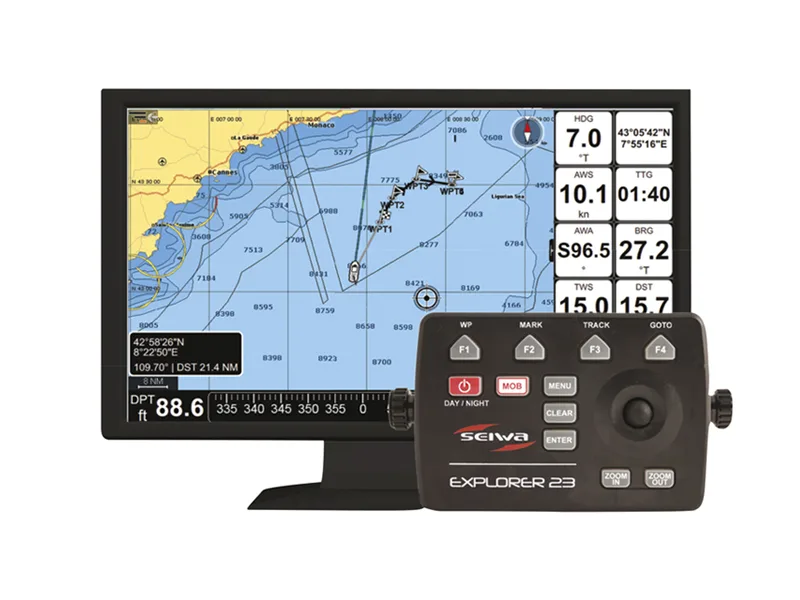
Compact blackbox ECS chartplotter for any external HDMI monitor, with C-MAP or NAVIONICS charts, NMEA 2000/0183, AIS overlay and Wi-Fi updates.
SEIWA · Electronic chart system (ECS)
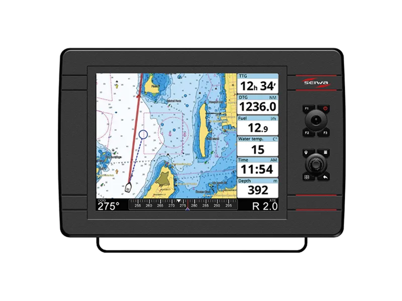
12" ECS chartplotter with hybrid touchscreen and keypad, C-MAP or NAVIONICS charts, internal GPS antenna, NMEA 2000/0183, AIS display and Wi-Fi update...
SEIWA · Electronic chart system (ECS)
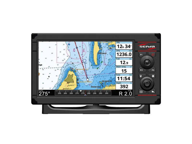
9" ECS chartplotter with hybrid touchscreen and keypad, C-MAP or NAVIONICS charts, internal GPS antenna, NMEA 2000/0183, AIS display and Wi-Fi updates...