IMO and IEC compliant
Full compliance with IMO performance standards and IEC test standards; feeds radar, AIS, ECDIS, autopilot, echo sounder and other bridge equipment.
FURUNO · GPS / Chart Plotters
Stable, precise IMO-compliant position fixing for ocean-going ships
Type-approved GNSS navigator for ocean-going ships, large yachts, ferries and commercial vessels: SBAS, DGNSS and SLAS augmentation, 10 Hz position update, LAN (IEC 61162-450), BAM-ready and IACS UR E27 compliant.
Price and availability on request. We handle supply, installation and support.
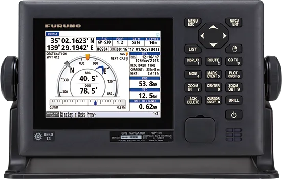
The GP-170 is FURUNO's GNSS navigator for SOLAS vessels. A newly designed GPS chip and antenna unit give highly stable, precise position fixing with strong multipath rejection, and position accuracy is further improved with SBAS, DGNSS and SLAS augmentation. Position is updated ten times per second for steady own-ship tracking.
It fully complies with IMO performance standards and IEC test standards, supplies position to radar, AIS, ECDIS, autopilot and other bridge equipment, and integrates into the bridge network through Light Weight Ethernet (IEC 61162-450). It is BAM-ready, IACS UR E27 compliant and can be installed in dual configuration for back-up.
Full compliance with IMO performance standards and IEC test standards; feeds radar, AIS, ECDIS, autopilot, echo sounder and other bridge equipment.
New GPS chip and antenna unit with enhanced noise rejection and multipath tolerance.
Augmentation services further improve position precision.
Position updated every 0.1 second for steady own-ship tracking.
LAN interface, fully compatible with Light Weight Ethernet (IEC 61162-450).
Meets the requirements for alerts and interconnection with Bridge Alert Management in IMO MSC.302(87).
Waypoints, routes and settings can be shared between two units for functional back-up.
Compliant with IACS UR E27 cyber resilience requirements.
| Display unit | 5.7" color LCD, 640 x 480 pixels |
|---|---|
| Display modes | Plotter, Course, Highway, Data, Integrity |
| Augmentation | SBAS, DGNSS (optional beacon receiver), SLAS |
|---|---|
| Position update rate | 10 Hz (every 0.1 s) |
| Network | LAN, Light Weight Ethernet (IEC 61162-450) |
|---|---|
| Front panel | USB port for route data and settings import/export |
| Standards | IMO performance standards, IEC test standards, BAM (IMO MSC.302(87)), IACS UR E27 |
|---|
| Retrofit | GPA-019S antenna from a previous GP-150 can be reused; GPA-021S for type-approved DGPS |
|---|
Specifications are provided by the manufacturer and may change without notice.
Product inquiry
Fill in the form and one of our engineers will get back to you with pricing, lead time and the right configuration for your vessel.
FURUNO · Chart plotter / fish finder
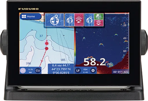
9" multi-touch GPS/WAAS chart plotter with built-in CHIRP fish finder, C-MAP 4D and Navionics charts, wireless DRS4W radar, autopilot control and scre...
FURUNO · Chart plotter / fish finder
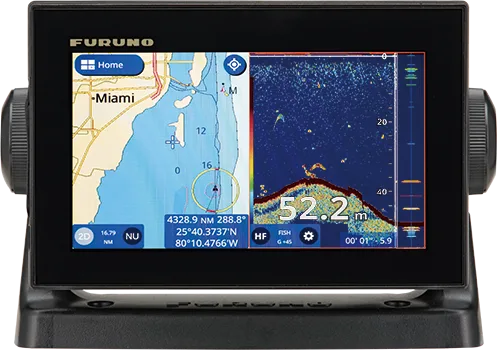
7" multi-touch GPS/WAAS chart plotter with built-in CHIRP fish finder, C-MAP 4D and Navionics charts, wireless DRS4W radar, autopilot control and scre...
FURUNO · Chart plotter / fish finder
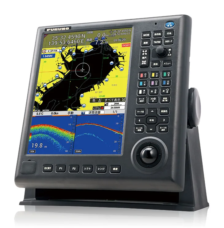
12.1" IPS color GPS/WAAS chart plotter with built-in 50/200 kHz fish finder (600 W or 1 kW), user-customisable keys, huge storage and an easy-access U...
FURUNO · Chart plotter
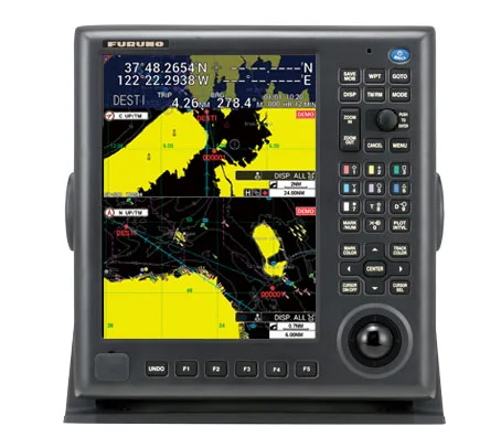
12.1" IPS color GPS/WAAS chart plotter with user-customisable shortcut keys, storage for up to 990,000 points, UNDO/REDO keys and an easy-access USB p...