0.4° rms heading accuracy
Highly accurate heading for autopilot, radar, ARPA, scanning sonar, current indicator, chart plotter and ECDIS.
FURUNO · Compasses
GNSS-powered high accuracy compass, 0.4° rms heading
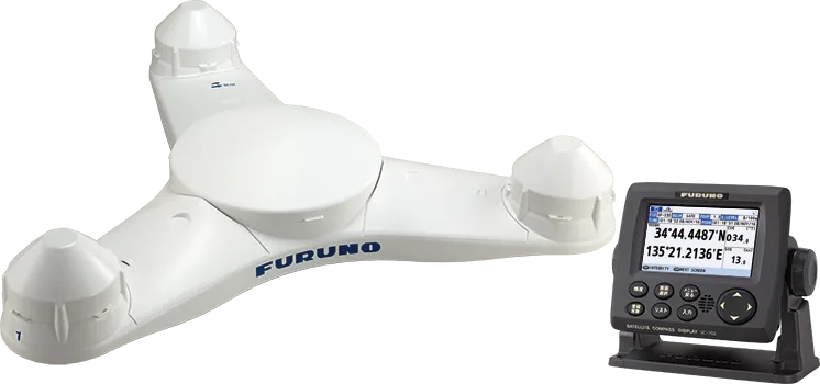
GNSS satellite compass with 0.4° rms heading accuracy, 45°/s follow-up and no moving parts, for radar, ECDIS, AIS, Doppler sonar and autopilots on small to medium vessels.
Price and availability on request. We handle supply, installation and support.
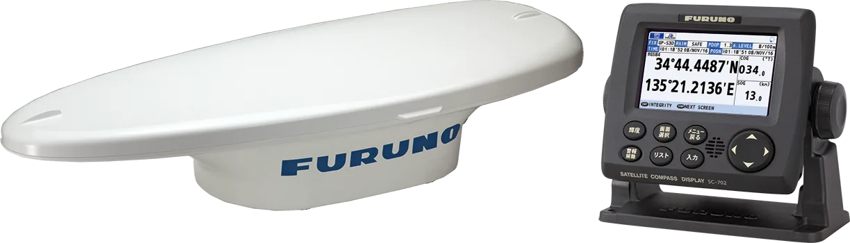
The SC-70 SATELLITE COMPASS™ provides a highly accurate heading of 0.4° rms, ideal for small to medium boats. It uses GNSS satellites (GPS, Galileo and GLONASS) to calculate precise attitude, and feeds heading data to autopilots, radars, ARPA, scanning sonars, current indicators, chart plotters and ECDIS.
With no mechanical parts it is maintenance free, starts in about 90 seconds and follows turns at up to 45°/s, twice the IMO high-speed-craft requirement. It also outputs speed over ground, course over ground and pitch/roll data, and integrates easily into the ship's network via Ethernet.
Highly accurate heading for autopilot, radar, ARPA, scanning sonar, current indicator, chart plotter and ECDIS.
Uses GPS, Galileo and GLONASS satellites for high-precision attitude, even when few satellites are visible.
Precise speed data at bow, stern and longitudinally for safe navigation and berthing.
Type-approved as THD, GPS and ROTI, complying with IMO and IEC/ISO requirements for SOLAS vessels.
45°/s follow-up rate, twice the IMO high-speed-craft requirement of 20°/s.
No mechanical parts and no recurring cost; starts in about 90 seconds.
Can reuse existing antenna cabling of SC-50/55/60/110/120 (LAN_CNV option kit required).
Precision pitch/roll data in analog and digital formats for vessel stabilization and sonar.
| Display unit | 4.3-inch color LCD, 95.04 (W) x 87.12 (H) mm, 480 x 272 dots (WQVGA) |
|---|---|
| Heading accuracy | 0.4° rms |
| Heading resolution | 0.1°, 0.01°, 0.001° (selectable) |
| Follow-up | 45°/s |
| Setting time | Approx. 90 s (typical) |
| Positional accuracy | GPS 5 m, DGPS 4 m, WAAS 4 m, MSAS 7 m (2drms, HDOP<4) |
| Ports (junction box) | IEC 61162-2: 1 port; IEC 61162-1: 8 ports; NMEA 2000: 1 port; AD-10: 4 ports; RS-485: 1 port; LAN (IEC 61162-450): 2 ports, 100Base-TX |
|---|
| Temperature | Antenna unit -25°C to +55°C; display unit/junction box -15°C to +55°C |
|---|---|
| Waterproofing | Antenna unit IP56; display unit IP22 (IP35 optional); processor unit IP20 (IP22 bulkhead mount) |
| Power | 12-24 VDC, 2.1-1.1 A (including antenna and display unit) |
|---|
| Weight | Display unit 0.7 kg; junction box 2.9 kg; antenna unit (SC-703) 2.8 kg |
|---|
Specifications are provided by the manufacturer and may change without notice.
Product inquiry
Fill in the form and one of our engineers will get back to you with pricing, lead time and the right configuration for your vessel.
FURUNO · Satellite compass
Tri-sensor GNSS satellite compass with 0.25° rms heading accuracy and 45°/s follow-up, for radar, ECDIS, AIS, Doppler sonar and autopilots on medium t...
FURUNO · Satellite compass
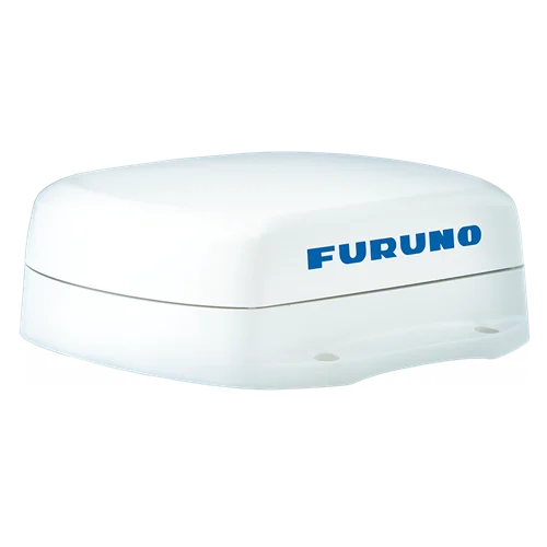
Compact NMEA 2000 Satellite Compass™ with four multi-GNSS antennas, 1.0° heading accuracy, 0.02 kn speed accuracy and a 1.0 kg antenna.
FURUNO · Satellite compass
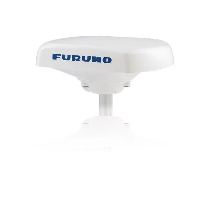
Compact NMEA 0183 Satellite Compass™ with four multi-GNSS antennas, 1.0° heading accuracy, 0.02 kn speed accuracy and a 1.0 kg antenna.
FURUNO · Heading sensor
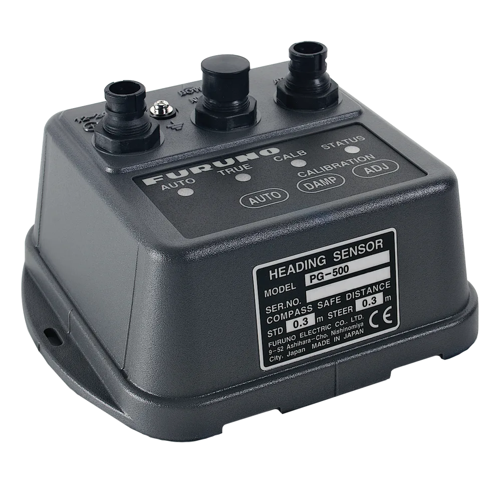
NMEA 0183 rate-compensated heading sensor combining electromagnetic compass technology with a solid-state rate gyroscope, ±1.0° accuracy and a compact...